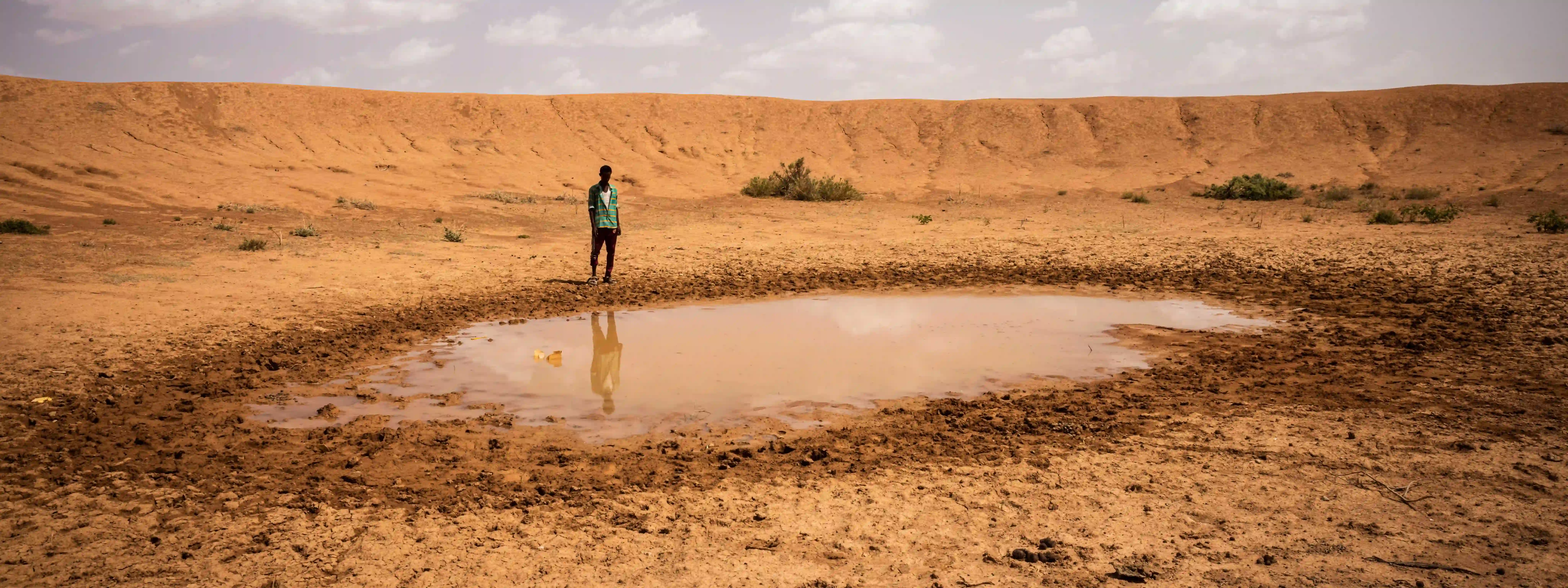
Weather prediction has become more and more sophisticated with the development of new technologies and the arrival of artificial intelligence. But even meteorologists will agree that it’s still an imperfect science, and they’re reluctant to venture beyond a ten-day window with any degree of confidence. So how is it that there are dire predictions about failed end-of-year rains in drought-ravaged East Africa?
Stargazing
For centuries, in the absence of available scientific advice, farmers and fishermen around the world developed their own methods of weather forecasting. In Scandanavia, there’s an ancient and dying art that involves “reading” the spleen of a slaughtered pig. In 19th century America some believed that the dried wishbone from their Thanksgiving turkey could provide key meteorological data. And there’s a theory that the nesting habits of squirrels give clues to the severity of the coming winter.

For generations, livestock herders in the Horn of Africa have relied on indigenous weather forecasting indicators. These can include direction and strength of winds, star-moon alignment, direction of the moon crescent, types of clouds, temperature conditions, lightning and thunder, color of the sky, and rainbows to forecast the next rainy season. But recently, the news has been consistently bad, with some areas of Kenya, Ethiopia, and Somalia receiving no substantial rain for four consecutive years.
Simple science
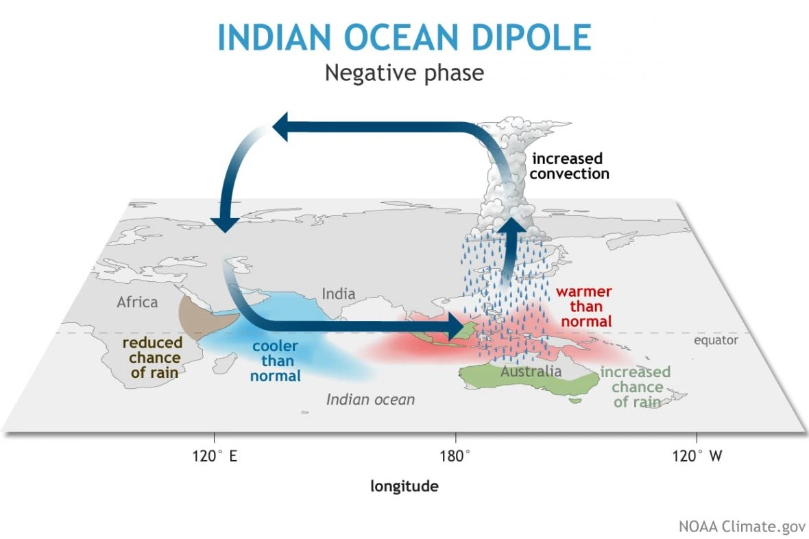
In normal times, the next rains in much of the region should fall between October and December, but the latest forecasts are not looking good. And there’s a sound scientific basis for the pessimism. It’s called the Indian Ocean Dipole and as mechanisms go it’s pretty simple. All you need is a boat and a thermometer, or more precisely two boats and two thermometers.

Most weather patterns on Earth are to some extent influenced by the oceans, and in this case — specifically the East African Short Rains — it’s the Indian Ocean that calls the shots. When sea surface temperatures are significantly different on either side of an imaginary pole running diagonally from the ocean south of Indonesia to the Arabian sea, it directly affects precipitation in adjacent land masses.
Negative energy
Put simply, when the waters off East Africa are warmer than the waters around South East Asia and Australia, conditions will be drier in the west and wetter in the east. It’s known as a negative phase of the Indian Ocean Dipole. When the situation is reversed that’s when there’s a positive IOD. The ideal for all concerned would be a neutral position, but of course nature doesn’t organize itself on the basis of human need.
What influences water temperatures in the Indian Ocean is a whole other level of complicated. If you’re familiar with the El Niño and La Niña phenomena that affect weather patterns in countries bordering the Pacific, this is something similar. In fact it’s sometimes referred to as the Indian Niño and there’s evidence that the Pacific Ocean cousins may be influential in how this Dipole oscillates.

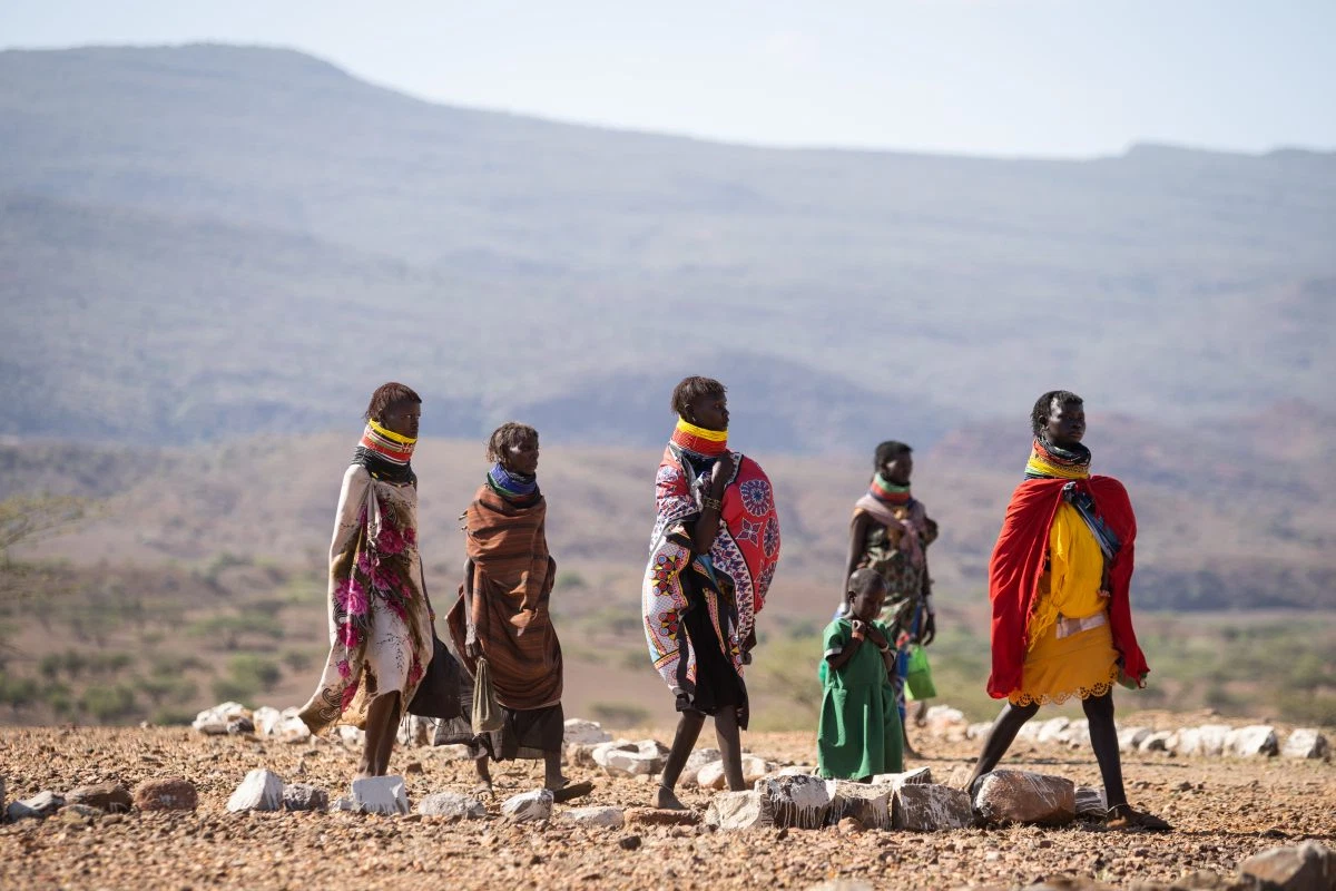
However for our purposes it’s enough to know that right now the Dipole is stubbornly stuck in the negative. This means that Australians should be preparing for more destructive storms and flooding, and rain-dependent farming and pastoralist families in the Horn of Africa are facing a very bleak future. Mother of eight, Ekal Mudang from the Northern Kenyan province of Turkana, has a stark warning as she queues for treatment for her malnourished son: "People will die, there is no future if the next rains due in October don't come and we don't get support."
